Images can make a website more engaging, but sometimes a static picture cannot provide all the information visitors need. Interactive image maps offer a more useful alternative by allowing users to click specific areas, explore locations, open additional information, and navigate visual content directly on a page.
WordPress image map plugins make it possible to add these features without building an entire interactive experience from scratch. Depending on the plugin, you can create clickable floor plans, product showcases, geographical maps, location directories, and educational diagrams.
However, not every mapping plugin serves the same purpose. Some focus on traditional geographical maps, while others let you turn almost any image into an interactive experience. The right choice depends on your website, the level of customization you need, and how visitors will interact with your content.
In this article, we explore five of the best WordPress image map plugins in 2026, highlighting their key features and the types of projects they suit best.
1. WP Go Maps
Best for: Business websites, store locators, and geographical maps
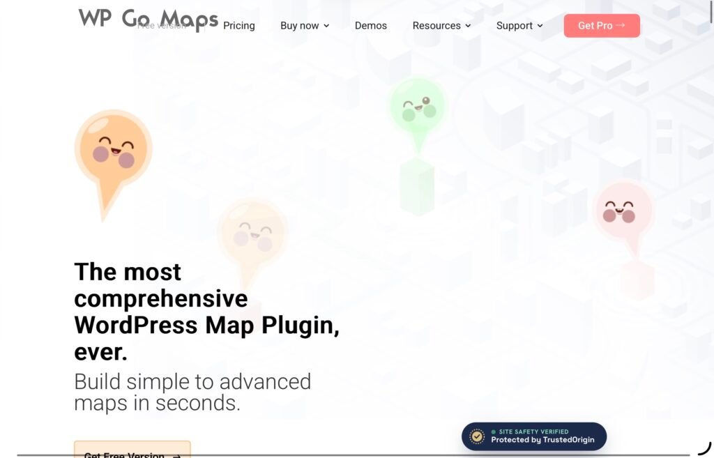
WP Go Maps is a popular WordPress mapping plugin for creating interactive maps without requiring advanced coding skills. Formerly known as WP Google Maps, it allows website owners to add customized maps to pages and posts using a shortcode or a dedicated map block.
While its primary focus is geographical mapping rather than image-based hotspots, it is a useful choice for businesses that need to display multiple locations and help visitors find their way around.
Key Features
- Multiple map engines: Choose from Google Maps, Leaflet, OpenLayers, and other supported mapping options.
- Custom markers: Add location markers, adjust their appearance, and use custom marker icons.
- Store locator functionality: Help visitors find nearby branches and business locations.
- Interactive shapes: Draw polygons and routes to highlight areas or show connections between locations.
- Responsive maps: Display maps across different screen sizes and devices.
- Map customization: Adjust colors, themes, dimensions, and zoom levels to suit your website.
- WordPress integration: Add maps to pages and posts using supported blocks, widgets, or shortcodes.
The free version provides a practical starting point for creating maps with markers, while the Pro add-on expands the available functionality with features such as advanced marker listings, directions, and additional customization options. Pricing and included features depend on the selected license.
2. WP Maps – Google Maps, OpenStreetMap, Mapbox
Best for: Store locators, business directories, and searchable location maps
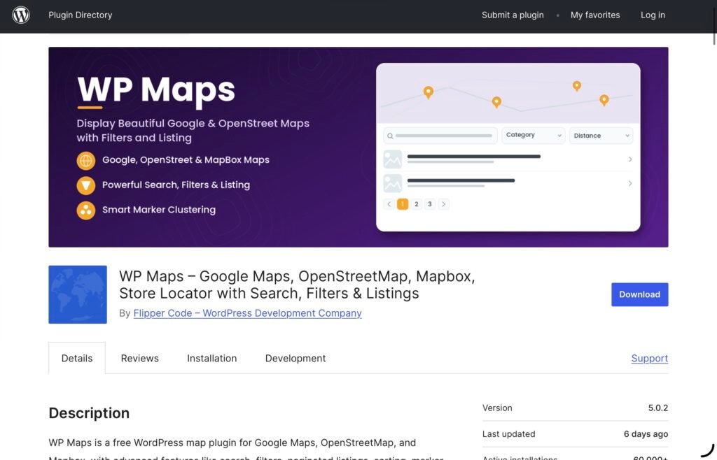
WP Maps, available through the WordPress plugin directory as WP Google Map Plugin, is designed to help website owners create interactive maps with custom markers, searchable listings, and location filters.
It is particularly useful for websites where visitors need more than a visual map. Instead of simply looking at pins, users can search for locations, filter results, and browse information associated with each marker.
Key Features
- Multiple mapping providers: Use Google Maps, OpenStreetMap, or Mapbox, depending on your preferences and configuration.
- Custom markers and categories: Organize locations into categories and assign different icons to them.
- Search and filtering: Let visitors narrow down locations using available search and filtering controls.
- Location listings: Display information about mapped locations alongside the map.
- Marker clustering: Group nearby markers to make maps with many locations easier to navigate.
- Interactive shapes: Add circles, polygons, and other shapes to highlight specific areas.
- Responsive design: Present maps and listings on different screen sizes.
- WordPress compatibility: Add maps through shortcodes and supported editor integrations.
Another useful feature is its flexibility in choosing a mapping provider. Google Maps requires an API key, while OpenStreetMap can be used without one. The plugin also offers a free version with several tools for creating maps, listings, and filters.
3. PicPoints – Interactive Image Map & Hotspot Builder
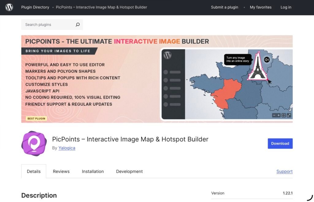
PicPoints is a powerful WordPress plugin for creating interactive image maps, floor plans, hotspots, and visual experiences without requiring complex coding. It provides a visual SVG editor that lets you turn static images into engaging, clickable experiences with interactive shapes, markers, tooltips, popups, and multiple scenes.
The plugin is suitable for a wide range of projects, including real estate floor plans, interactive product showcases, seating charts, educational diagrams, shopping maps, lookbooks, and digital storytelling. Its performance-focused architecture allows you to create maps with hundreds of interactive elements while keeping the experience responsive across devices.
Key Features
- Interactive Image Maps: Transform images and graphics into clickable, interactive maps with custom hotspots and elements.
- SVG Vector Editor: Create rectangles, ellipses, polygons, markers, text, and other vector-based elements with precise positioning and editing.
- Interactive Hotspots: Add clickable markers to specific areas of an image and provide users with additional information.
- Rich Tooltips & Popups: Display text, images, links, WooCommerce products, iframes, and other rich content when users interact with hotspots.
- Multi-Scene Support: Build multi-level experiences such as real estate floor plans, architectural layouts, and maps with different floors or sections.
- Layer Management: Organize interactive elements into groups and layers for easier editing and management.
- Responsive & Touch-Friendly: Maps automatically adapt to desktops, tablets, and mobile devices, with support for pan and pinch-to-zoom gestures.
- Audio Hotspots: Add audio files to interactive elements to create soundboards, audio guides, and interactive learning experiences.
- Performance-Focused Architecture: PicPoints uses an isolated Shadow DOM to prevent theme CSS and JavaScript conflicts from affecting interactive maps.
- Undo & Redo: Easily reverse or restore changes while working with scenes and layers.
- Customizable Navigation: Add scene titles, navigation dots, fullscreen controls, fit-to-screen actions, and zoom controls.
- Gutenberg & Page Builder Compatibility: Embed maps using the dedicated Gutenberg block, shortcode, or popular WordPress page builders.
- SVG Import: The Pro version can import vector layers from SVG files created in applications such as Illustrator or Inkscape.
- Custom CSS & JavaScript: Pro users can extend maps and individual elements with custom code.
- Developer API: Connect interactive maps with external systems, WooCommerce, CRMs, or custom databases.
PicPoints offers an approachable solution for users who want to add interactive visual content to WordPress while also providing advanced customization options for developers and agencies. The free version supports unlimited maps, while Pro expands the available scenes, layers, integrations, and developer features.
4. MapGeo – Interactive Geo Maps
Best for: World maps, regional maps, and geographical data visualization
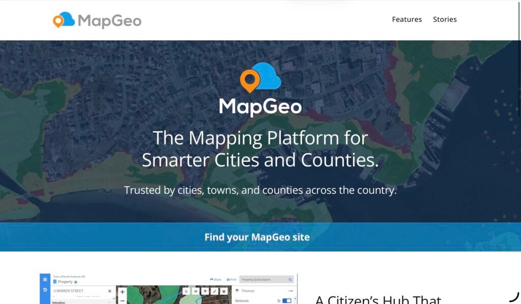
MapGeo is a WordPress plugin for creating interactive geographical maps with colored regions and markers. It provides a collection of vector maps covering countries, continents, and other geographical divisions.
Unlike image hotspot plugins, MapGeo works with geographical boundaries and map regions. This makes it useful for websites that need to present information by country, state, or region.
Key Features
- Extensive map library: Choose from more than 250 vector maps covering the world, continents, individual countries, and selected regional divisions.
- Colored regions: Highlight countries or geographical areas using different colors.
- Interactive markers: Add colored markers to identify particular locations.
- Hover effects: Change region colors when visitors hover over them.
- Click actions: Configure regions and markers to trigger actions, such as opening another page.
- HTML tooltips: Display additional information when visitors hover over map elements.
- Zoom and pan: Allow users to explore maps more closely.
- Responsive SVG maps: Display interactive vector maps across modern browsers and devices.
- Map projections: Select from supported projections to change how geographical information is presented.
The free version includes core mapping features, while the Pro version adds more advanced customization options. These include individually colored regions and markers, custom image markers, labels, legends, heatmaps, marker clustering, and additional zoom controls.
5. Leaflet Map
Best for: Lightweight geographical maps, custom map elements, and image-based maps
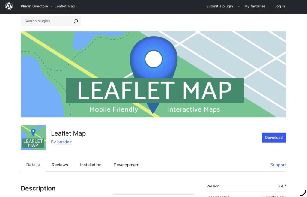
Leaflet Map is a WordPress plugin built around Leaflet, an open-source JavaScript library for interactive, mobile-friendly maps.
It offers a shortcode-based approach to adding maps, markers, shapes, and other geographical elements to WordPress pages and posts. Users can create maps by specifying an address or providing latitude and longitude coordinates.
One notable advantage is that Leaflet Map also supports image-based maps. This makes it a flexible choice for projects that need either conventional maps or navigable images.
Key Features
- Interactive geographical maps: Create maps using the Leaflet mapping library.
- Address-based locations: Generate maps centered on specified addresses.
- Custom markers: Add markers to identify places and provide additional information.
- Popups and links: Display messages and links when users interact with map markers or shapes.
- Lines and circles: Draw routes, circles, and other map elements.
- GeoJSON support: Display geographical data from compatible GeoJSON sources.
- KML and GPX support: Add supported geographical data formats to maps.
- Image maps: Display a plain image that visitors can pan and zoom using the plugin’s image-map functionality.
- Shortcode integration: Add maps and their elements to WordPress content using dedicated shortcodes.
The plugin uses OpenStreetMap tiles by default, with alternative providers available through configuration. Users should review the selected provider’s requirements and attribution rules before publishing their maps.
How to Choose the Best WordPress Image Map Plugin
The best plugin depends on what you want visitors to do with your map. Although these tools share some interactive features, they are designed for different use cases.
Choose WP Go Maps if you need a straightforward way to display business locations, create store locators, or help visitors navigate geographical information.
Choose WP Maps if your website requires searchable location listings, category filters, and interactive markers for a directory or location-based service.
Choose PicPoints if you want to transform static images into interactive experiences. Its visual SVG editor, clickable hotspots, rich popups, and multi-scene support make it particularly suitable for floor plans, product images, diagrams, and visual storytelling.
Choose MapGeo if your project involves interactive country maps, colored geographical regions, or data visualization across different territories.
Choose Leaflet Map if you want a flexible mapping solution that supports geographical elements and navigable images through shortcodes.
Before making a decision, consider how much customization you need, whether the plugin supports your preferred WordPress editor, and which features are included in its free and paid versions. It is also worth testing the mobile experience, particularly if your map contains numerous interactive elements.
Final Thoughts
WordPress image map plugins can help turn static visuals into more informative and engaging website experiences. However, the right tool depends on whether you are working with geographical locations, regional data, or custom images.
WP Go Maps and WP Maps are strong options for location-based websites, while MapGeo is better suited to interactive geographical visualization. Leaflet Map offers flexibility for geographical maps and navigable images.
For projects that rely on clickable areas within images, PicPoints stands out as a specialized solution. Its visual editor, interactive hotspots, rich popups, and multi-scene support make it suitable for everything from real estate floor plans to interactive product showcases.
Ultimately, choosing the right plugin comes down to your content and the experience you want to create. A well-designed interactive map should make information easier to explore, help visitors find what they need, and fit naturally into your WordPress website.
Click here for more.